
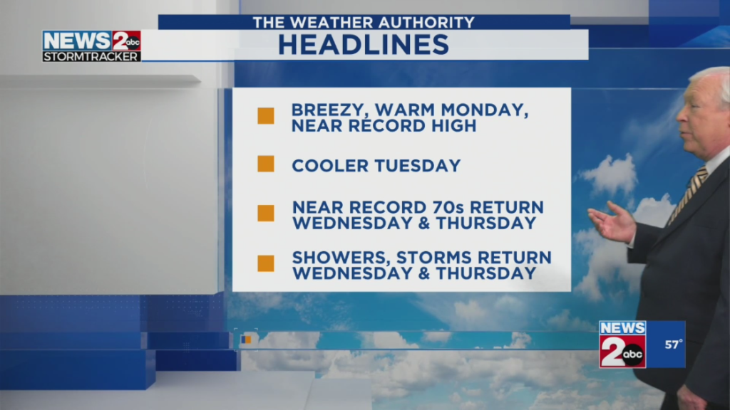
Nashville, TN – Middle Tennessee residents should prepare for a week of wet weather, with rain and thunderstorms moving into the region. According to the National Weather Service, a high probability of showers and thunderstorms is expected to begin on Tuesday night and intensify by midweek. The storms could bring heavy rainfall, gusty winds, and potential flooding. Local authorities are urging residents to stay informed and take precautions, especially for outdoor plans.
Tuesday: A Start to Unsettled Weather
The weather on Tuesday is expected to begin with partly sunny skies, but the conditions will start to change as the day progresses. Rain showers are expected to develop overnight, setting the stage for a stormy Wednesday. These showers will likely lead to the first signs of inclement weather in the region.
Wednesday: The Peak of the Storms
Wednesday will bring the highest chance of rainfall, with the forecast indicating a 60% likelihood of showers and thunderstorms. Midweek weather is predicted to be unsettled, and storms will likely intensify throughout the day. Wind gusts will pick up, with speeds reaching up to 20 mph. Drivers and outdoor workers should be prepared for gusty winds that may impact visibility and road conditions. The stormy conditions will last into the evening, making for potentially hazardous travel, especially in the late afternoon and evening.
Thursday: Persistent Storms and Increased Precipitation Risk
The stormy weather will continue into Thursday, with an 80% chance of precipitation. The rain will likely begin early in the morning, impacting the morning commute, and continue through the day, making the evening commute potentially difficult as well. The heavy rainfall may lead to localized flooding, especially in low-lying areas and regions with poor drainage systems. Drivers should exercise caution, particularly in areas where rain is most intense.

Friday: Clearing Skies and Improving Conditions
By Friday, conditions are expected to improve as the storm system begins to weaken. The chances of rain will drop significantly to around 20%. While there could be some lingering showers, it will not have the same intensity as earlier in the week. Temperatures will remain consistent throughout the week, with highs in the low 70s and overnight lows in the 40s by Thursday.
Weather Safety Tips and Alerts
Residents of Middle Tennessee are advised to stay up-to-date with the latest weather warnings, particularly in the event of severe thunderstorms. Drivers should remain cautious on wet roads and be aware of potential flash flooding, especially in areas prone to heavy rainfall. Those planning outdoor activities should have a backup plan, as conditions could change rapidly.
Additionally, it is recommended that people have emergency supplies ready in case of power outages or road closures. With the intense weather forecasted, Middle Tennessee residents should be prepared for the challenges posed by the storms this week.
Regional Impact: Travel and Localized Flooding Concerns
The storms could affect local travel, with wet roads and poor visibility creating hazardous driving conditions. Drivers are encouraged to slow down, keep a safe distance, and avoid driving through flooded areas. Those traveling on rural roads or areas prone to flooding should be especially cautious. Flash flood warnings may be issued as rainfall accumulates, so it’s important to stay alert for updated weather alerts.

Community Preparedness and Staying Informed
To stay informed about the latest developments, the National Weather Service encourages residents to sign up for weather alerts through local media outlets and emergency notification systems. By staying informed, residents can take timely actions to protect themselves and their property during the stormy weather.
Local news outlets, such as County Herald, will provide ongoing coverage and updates throughout the week, ensuring that the community is well-prepared and aware of any significant weather changes.
Conclusion: A Week of Challenges Ahead for Nashville
As Middle Tennessee braces for a week of showers, thunderstorms, and the possibility of localized flooding, residents are encouraged to stay informed and be prepared for varying weather conditions. The storms will affect travel, daily routines, and outdoor activities, so proper precautions should be taken to ensure safety. By following weather alerts and adjusting plans accordingly, Nashville residents can mitigate the impacts of this stormy weather.
Disclaimer – Our editorial team has thoroughly fact-checked this article to ensure its accuracy and eliminate any potential misinformation. We are dedicated to upholding the highest standards of integrity in our content.

More Stories
Nashville Prepares for Stormy Week with Heavy Rain and Thunderstorms
Nashville Prepares for Stormy Week with Heavy Rain and Thunderstorms
Nashville Prepares for Stormy Week with Heavy Rain and Thunderstorms