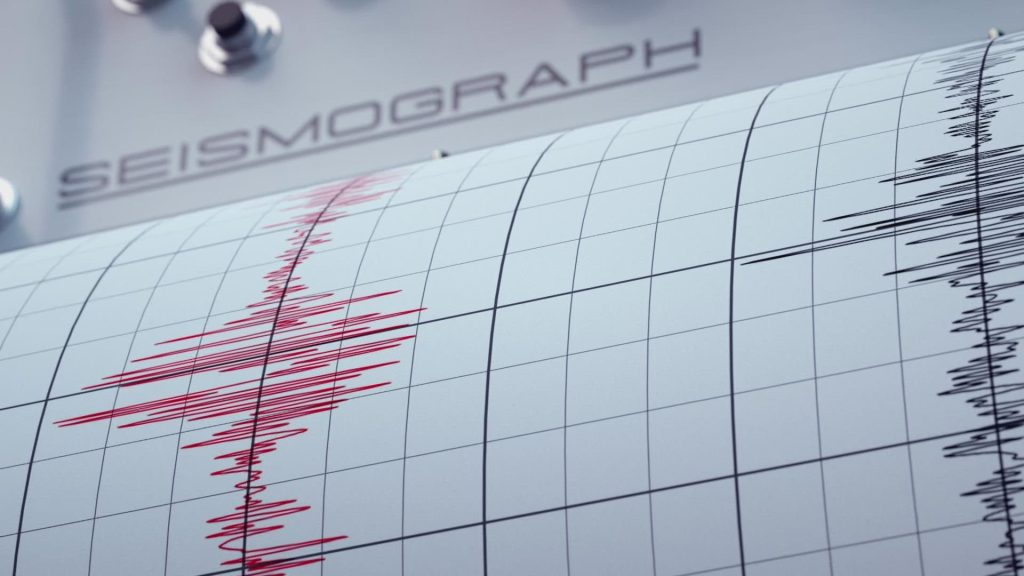
On Sunday, around 9:48 AM, a 2.7 magnitude earthquake occurred approximately 4 miles beneath the Earth’s surface. This quake was felt by residents along the tri-state border of Colorado, Wyoming, and Utah. The epicenter was located 8-10 miles east of Brown’s Park National Wildlife Refuge in western Colorado. A 2.7 magnitude quake typically isn’t felt beyond a few miles from its origin, making it unlikely for people in nearby areas to have experienced it. In fact, it’s almost certain that it wasn’t felt here.
Historical Earthquake Activity in Colorado
While this recent quake was minor, it’s not the first earthquake to occur in Colorado. Earthquake activity in the state dates back to 1870. Notably, the largest earthquake in Colorado’s history occurred in 1882. This event, known as “The Big One,” was a magnitude 6.6 quake—the strongest ever recorded in the state. The exact location of the epicenter is not definitively known, but data suggests it was somewhere around Longmont or Berthoud, with the effects felt across five states in the region.
The Intermountain Seismic Belt
The area affected by the recent earthquake is likely part of the Intermountain Seismic Belt, a fault line that stretches across the western United States. This belt is known for frequent smaller earthquakes. While many of these quakes don’t cause significant damage, they serve as important reminders to prepare for larger events. The 1882 earthquake, for example, highlights the potential for more powerful quakes in the region.
Understanding the Intermountain Seismic Belt
The Intermountain Seismic Belt is a long zone of earthquake activity extending across parts of the western United States. It corresponds to a boundary between tectonic subplates. The region is characterized by fault zones where seismic activity is common, with some areas more prone to stronger quakes.
Preparing for Earthquakes
While Colorado is considered a region of minor earthquake activity, it’s important to be prepared for the possibility of larger quakes. The 1882 earthquake serves as a reminder of the potential for significant seismic events in the area. Residents are encouraged to have an emergency plan in place, secure heavy furniture, and ensure that their homes meet current building codes designed to withstand earthquakes.
Recent Earthquake Statistics in Colorado
Here are some of the largest earthquakes recorded in Colorado:
| Date | Magnitude | Location | Depth (km) |
|---|---|---|---|
| August 23, 2011 | 5.4 | Near Trinidad | 0 |
| August 22, 2011 | 4.7 | Near Trinidad | 5 |
| March 4, 2019 | 4.5 | Near Dove Creek | 0 |
| September 5, 2001 | 4.5 | Near Trinidad | 5 |
| January 3, 2007 | 4.4 | Near Trinidad | 5 |
Conclusion
While the recent 2.7 magnitude earthquake was minor and unlikely to have been felt in many areas, it serves as a reminder of the seismic activity in Colorado. Understanding the history and geology of our region can help us prepare for future events. Staying informed and having an emergency plan are crucial steps in ensuring safety during seismic events.
Disclaimer – Our editorial team has thoroughly fact-checked this article to ensure its accuracy and eliminate any potential misinformation. We are dedicated to upholding the highest standards of integrity in our content.


More Stories
Colorado’s Seismic History: From the 1882 ‘Big One’ to Recent Quakes
Colorado’s Seismic History: From the 1882 ‘Big One’ to Recent Quakes
Colorado’s Seismic History: From the 1882 ‘Big One’ to Recent Quakes