
With so many hiking trails, incredible parks, spectacular sights, and gorgeous river beaches, Portland is a great place to discover something enjoyable to do outside. However, the one that incorporates them all may be Portland’s greatest urban experience.
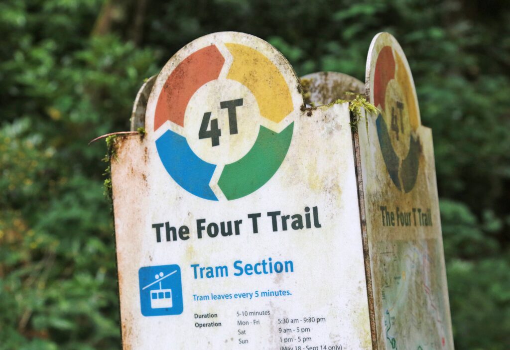
From the Willamette River all the way up to Council Crest, across to Washington Park, and down to downtown, the approximately 9-mile 4T Trail offers hikers a comprehensive overview of Southwest Portland. Tram, trail, train, and trolley are the four T’s that represent the four forms of transportation that are utilized during the trip.
The 4T Trail is a loop with numerous access points that is accessible from all directions. You can begin at almost any location in downtown, including the Oregon Zoo, Council Crest Park, Marquam Nature Park, and OHSU. Nevertheless, a good starting point is the Tillikum Crossing, where TriMet’s streetcar, train, and bus lines converge. You can locate parking close by at OHSU or take one of the several public transportation choices to the west bridgehead.
Those who are opposed to climbing uphill may want to reverse this. Here’s how to tackle Portland’s breathtaking 4T Trail, for everyone else.
Tram
South Moody Avenue, next to Southwest Whitaker Street, is home to the Portland Aerial Tram’s lower terminal. The tram journey, which only takes a few minutes, costs $8.50 per passenger, and tickets may be purchased online or in person. You will only be traveling one way on this trip, even if the ticket is valid for a round trip. Tourists and OHSU staff are the tram’s main customers, thus chances are you have never taken it. Before continuing, enjoy the trip and be sure to enjoy the views at the summit.

Trail
The longest of this adventure’s four sections is the approximately 4-mile hike from OHSU to Washington Park. Additionally, it is by far the most picturesque portion of the trip. Don’t forget to include a trail map. To traverse the numerous curves and turns through the wooded parks in Southwest Portland, locate one on the 4T Trail website or on AllTrails.
Turn left onto Southwest Sam Jackson Park Road after passing through the hospital from the top tram terminal. After approximately 1,000 feet, make a right turn onto Southwest Ninth Avenue, which leads to a trailhead that enters the forest. After half a mile on the Connor Trail, bear right onto the Basalt Trail, which takes you to the Marquam Nature Park parking lot. The Shadyside Trail leads uphill and terminates at the Marquam Trail, one of Portland’s longest continuous paths. Stop here for a moment to see the mosaic. You’ll find benches, a fantastic view, and a portable restroom in Council Crest Park, which is about a mile away if you turn right.
A brief stretch of the 4T Trail that needs walking beside some rather busy roadways comes next. Walk down the park road from the Council Crest viewpoint until you come to a north-facing trail that ends at a four-way intersection with the roadway. Be careful to stay on the shoulder as you cross Southwest Fairmount Boulevard, then make a right turn and go along Southwest Talbot Road. To reach Southwest Patton Road, turn right at the crossing, and then follow the stairs that descend back to the Marquam Trail. (Once more, a map is quite useful.)
The route ends at the shoulder of a highway onramp to U.S. 26 after 0.5 miles. Cross the street to an overpass after turning left and strolling along the shoulder. The Oregon Zoo’s entrance is directly up the walkway, which leads swiftly into Washington Park. To locate the Washington Park MAX station, continue walking.

Train
Just across the street from the World Forestry Center is the MAX station, which you may reach by elevator. The average adult TriMet fare is $2.80 each ride, with a daily maximum of $5.60. You can use any contactless credit card at the Hop scanner if you don’t have the Hop Fastpass app. Both the blue and red lines go to the same stops in the city center, so you can ride either one. Hop off at the Library/Southwest Ninth Avenue stop, just three stops away, for a quick rail ride. With laid-back, reasonably priced eateries all around, this is a terrific spot to get lunch.
Trolley
The final section of the 4T Trail connects downtown to the south waterfront where you started with the Portland Streetcar, or trolley. Take any available car from the Southwest 11th and Taylor stop downtown. Similar to the train, you can pay with a contactless credit card or a Hop Pass, albeit the adult fare is slightly less expensive at $2. To finish the journey, take the streetcar to the Southwest Moody & Meade stop, which is located directly at the base of the Tilikum Crossing.
Oregon Hikes
-
Find one of Oregon s tallest waterfalls on an easy little hike in the mountains

-
How to find Oregon s hidden waterfall corridor, tucked away deep in the Cascade Mountains
-
Everyone sees the flowers, not the challenge. Inside Dog Mountain s deceptive beauty
-
Why this suburban park is considered the hiking gem of Washington County
More Stories
Why the 4T Trail is one of the best urban adventures in Portland
Why the 4T Trail is one of the best urban adventures in Portland
Why the 4T Trail is one of the best urban adventures in Portland