
The National Weather Service has issued a Winter Storm Watch for the western and central Upper Peninsula counties.
That broad U.P. area is likely to be part of a major winter storm system that will bring blizzard conditions to the Plains and Upper Midwest from Tuesday night to early Thursday. The storm’s track and severity remain undetermined, but here’s what NWS meteorologists are tracking:
“Winter Storm Watches have been issued for Tuesday night through early Thursday morning as the potential for impactful winter weather has increased, though differences in modeled track and intensity of the system keep exact details uncertain,” the Marquette meteorologists stated. “The main threats are heavy, wet snow that becomes fluffier early Wednesday but then blows and drifts later. Wednesday mornings may also see a glaze of ice.

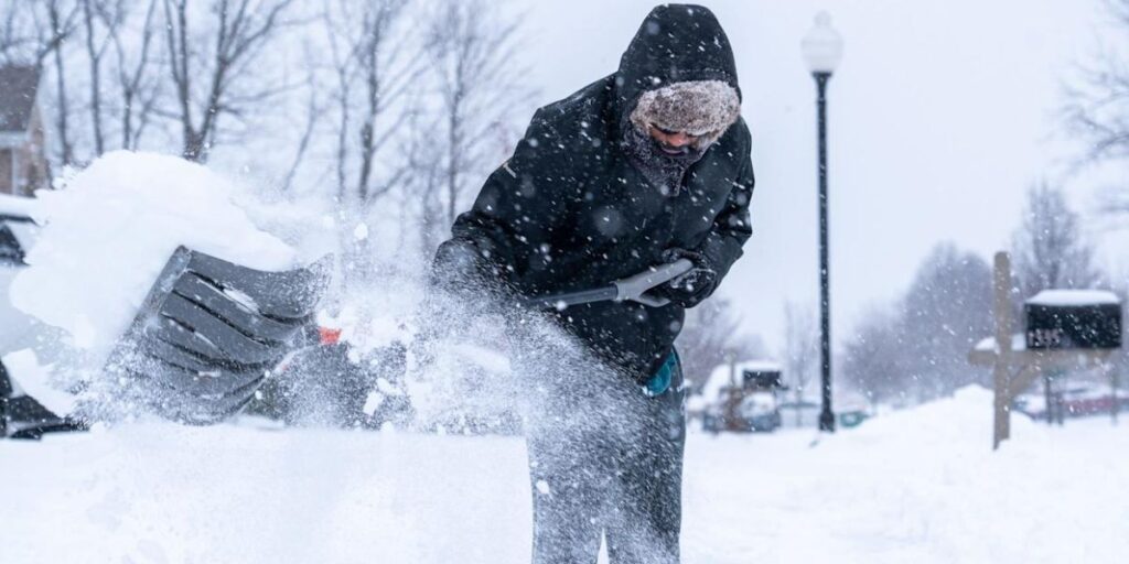
Why is this system so disorganized? It’s predicted to produce both heavy snow and a light layer of freezing rain. Snowfall could vary from 4 to 12 inches across the Upper Peninsula Winter Storm Watch region, with some places in Marquette County seeing up to 15 inches between early Wednesday and Thursday.
The northern margin of the Upper Peninsula, from L’anse, Marquette, and Munising east to Grand Marais, might expect substantial lake-effect snow from Lake Superior.
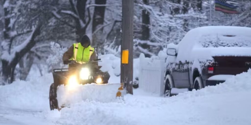
The NWS warned that the combination of high gusts, blowing snow, and freezing rain/icy conditions could make travel dangerous.

“Travel could be extremely difficult or impossible. Areas of blowing snow may drastically decrease visibility. The hazardous circumstances may have an impact on the Wednesday morning and evening commutes.
Temperatures will not be as cold in the southern portion of Lower Michigan, but snow may mix in with the rain later this week.
MLive Chief Meteorologist Mark Torregrossa stated: “Rain will begin in Lower Michigan Wednesday afternoon and tonight. Initially, it appears to be a mild spring showery rain, rather than a constant soaker. Rain will turn to snow from northwest to southeast on Wednesday night. By mid-morning Thursday, snow and rain should be mixed as far south as Ann Arbor, Detroit, Kalamazoo, and Grand Rapids.
“Temperatures in the high 30s to 40 degrees will make it difficult for snow to accumulate in southern Michigan. It is a different tale in Cadillac, Traverse City, Charlevoix, Petoskey, and the remainder of Lower Michigan. With a few inches of snow, the northwest Lower Michigan region will experience more substantial snowfall.
More Stories
Major Winter Storm Watch Issued for Michigan’s Upper Peninsula – Up to 15 Inches of Snow Expected
Major Winter Storm Watch Issued for Michigan’s Upper Peninsula – Up to 15 Inches of Snow Expected
Major Winter Storm Watch Issued for Michigan’s Upper Peninsula – Up to 15 Inches of Snow Expected